
GIS & Spatial Analytics
Geolocation-enabled monitoring, spatial planning, flood modeling, and environmental tracking.
What we do
Indev's GIS practice powers programmes where location is the unit of accountability — every sapling planted, every clinic served, every farm advisory delivered. Vi Foundation's Plant & Wellbeing programme (2.5 lakh+ saplings tracked across Pune, Bangalore, Ahmedabad) is built on our PostGIS + Leaflet stack with species-aware carbon sequestration modelling.
We also build flood vulnerability models, plantation MRV (monitoring, reporting, verification) systems, ward-level urban planning surveys, and environmental dashboards that translate raw geo-data into auditable CSR + sustainability reports.
Our approach
Sapling-level accountability
Geo-tag every asset at creation; survival + growth quarterly; species-aware carbon modelling.
Offline GPS capture
Field teams operate in low-connectivity geographies; we built for that day one.
Audit-grade reporting
Every CSR claim traces back to a sapling / clinic / household record with timestamp + geolocation.
4 projects powered by GIS & Spatial Analytics
 Sustainable Cities and Communities
Mapmyindia Pvt. Ltd.
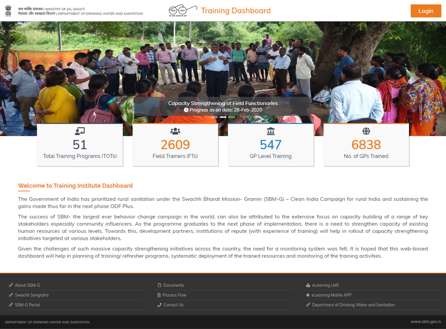
Flood modeling and Water Capacity Analysis for Dalmia Cement sites.
Water and Sanitation
 Climate Action
Vodafone Foundation
Plant and Wellbeing
Climate Change
 Sustainable Cities and Communities
AIILSG
GIS Survey for Ujjain Municipal Corporation
Governance & Institutional Strengthening
Climate ActionVodafone Foundation
Plant & Wellbeing - Plantation Monitoring
Climate Change
Building something that uses GIS & Spatial Analytics?
We co-design with foundations, multilaterals and CSR teams. Tell us what you're trying to deliver.